Our Services

Mapping and Surveying
Collect data and create detailed maps and 3D models of various terrains, structures, and landscapes, providing valuable insights for construction, mining, agriculture, and other industries.

Inspection Services
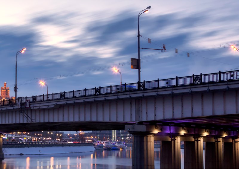
Inspect and monitor hard-to-reach or dangerous areas, such as power lines, wind turbines, bridges, and roofs, using advanced sensors and imaging technologies.

Search and Rescue Operations
Drones can be used to search for missing persons or locate survivors in natural disasters or other emergencies, thanks to their agility and ability to cover large areas quickly.

Security and Surveillance
Drones can be equipped with cameras and sensors to provide enhanced security and surveillance in public spaces, industrial sites, and other areas where safety and protection are a priority.

Aerial Photography and Videography
Drones equipped with high-quality cameras can capture stunning aerial images and videos for a variety of purposes, from real estate and tourism to film and TV production.

Environmental Monitoring
Drones can be used to monitor and track changes in the environment, such as forest fires, pollution levels, and wildlife populations, providing valuable data for research and conservation efforts.


Why Skeyeknight?
We exist to provide our clients with unparalleled aerial perspectives and data insights, empowering them to make informed decisions and achieve their goals with confidence.

